Rail engineers and maintenance teams often need visual context across long rights-of-way. GPS-based photography and 360 imagery can reduce the number of people who need to revisit a corridor simply to understand visible conditions, but the capture workflow should be designed around the required outcome.
Step 1: Define the purpose before choosing a camera
Start by identifying whether the project needs general visual context, a visible-asset inventory, recurring condition documentation, dimensional review or survey-grade positioning. The answer determines the capture equipment and supporting data you need.
Step 2: Choose capture equipment based on accuracy and scale
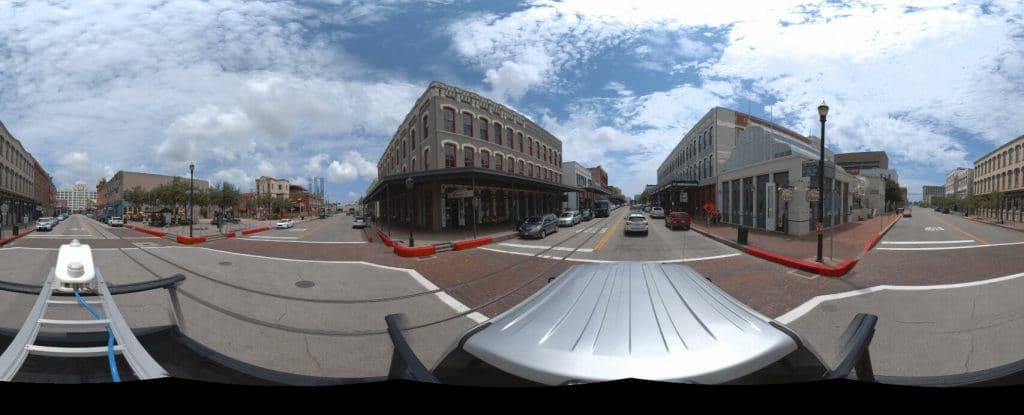
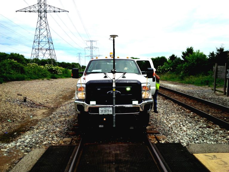
OcuMap is hardware agnostic. Consumer 360 cameras, action cameras, smartphones and professional systems can all contribute documentation. If the project requires survey-grade coordinates, use appropriate GNSS, survey control or authoritative geospatial data; OcuMap does not convert consumer GPS into survey-grade positioning.
Step 3: Capture safely and consistently
For vehicle-based or hi-rail collection, mounting, line of sight, power, storage, lighting and operating rules matter as much as resolution. A repeatable capture method also makes historical comparison more useful later.
Step 4: Organize the corridor by location
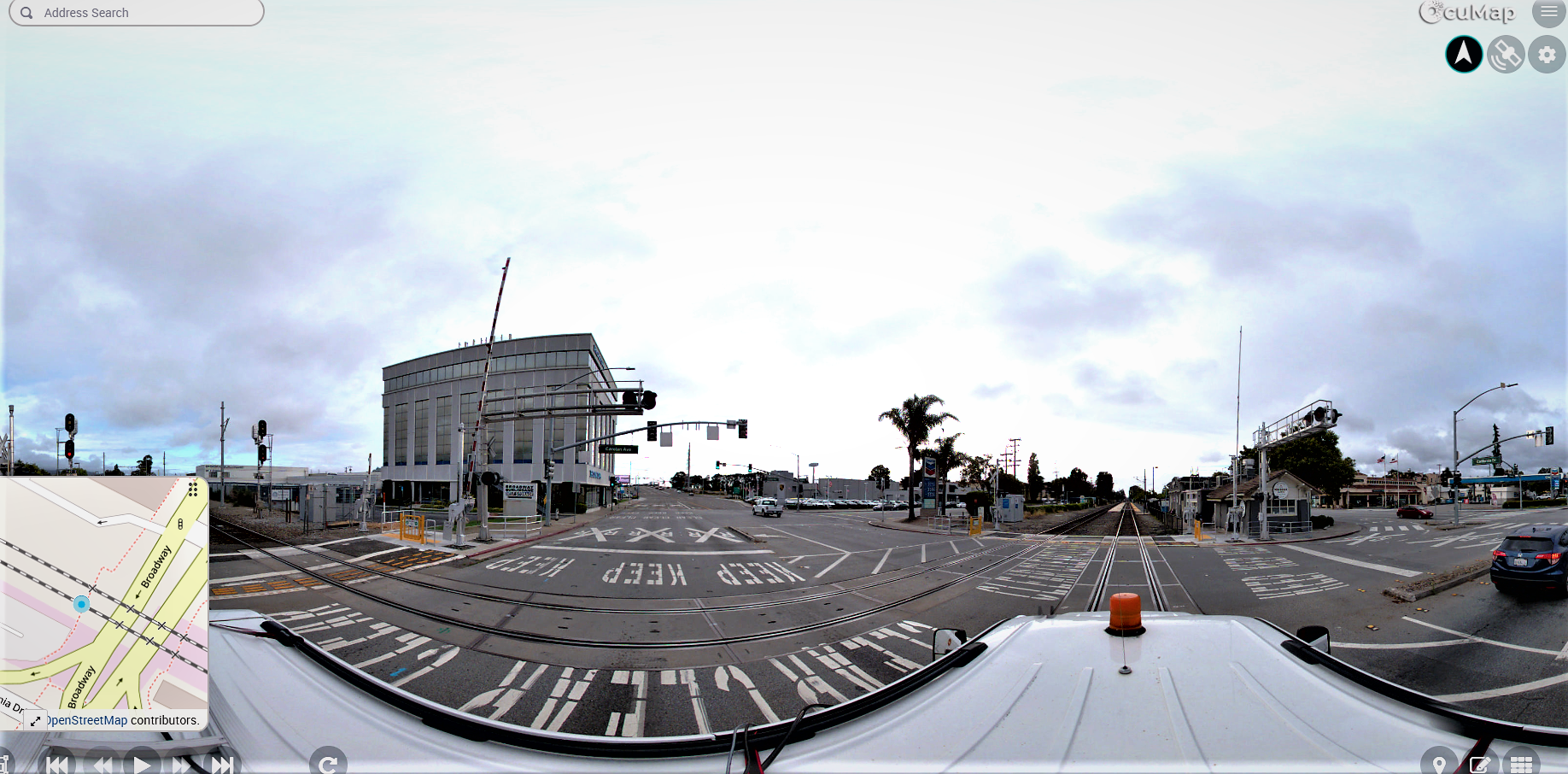
GPS-tagged media can be displayed along the route. KML, KMZ, GPX and CSV data can provide additional known locations or route context. Visible assets can then be reviewed from the imagery and documented in an inventory workflow.
Step 5: Add measurements and 3D context where available
Supported photos can be calibrated to measure lengths and areas. Native point-cloud viewing and measurement is available for LAS, LAZ and E57. Use the source appropriate to the accuracy required.
Step 6: Build a historical record
When the same corridor is captured again, OcuMap can compare imagery from the same location side by side. This is useful for vegetation, access, visible asset changes, construction progress and maintenance documentation.
Step 7: Publish a controlled view
A Published Viewer can deliver selected documentation to contractors, owners or agencies in the browser without exposing the internal project workspace.
Start a rail corridor project →
Practical checklist
- Define the route, site or asset context before collection.
- Choose capture equipment based on the accuracy and visual detail required.
- Preserve source location and date metadata.
- Keep authoritative GIS, survey or utility-locating data separate from visual observations.
- Plan repeat capture if change over time matters.
- Publish only the documentation appropriate for outside stakeholders.
Related resources
Common questions
Can consumer 360 cameras be used on rail projects?
They can be suitable for some visual documentation workflows, but camera selection must reflect project safety, image quality and positioning requirements.
Does OcuMap locate track assets automatically?
No. OcuMap organizes the data provided and supports visual documentation workflows; it should not be confused with automated survey or computer-vision asset extraction.
Can contractors review the corridor without workspace access?
Yes. A Published Viewer can provide selected read-only project documentation.