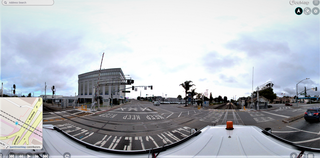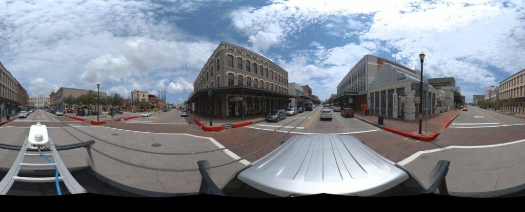
Cities, counties, agencies and engineering teams manage thousands of visible assets across roads and public rights-of-way. Street signs, poles, curb inlets, trees, guardrails, access points and other features are difficult to document when every observation requires a separate stop in the field.
GPS-based imagery provides another option: capture the corridor efficiently, then review the imagery from the office and build the inventory from what is visible.
What OcuMap does—and does not do
OcuMap does not automatically locate underground utilities or create survey-grade coordinates. It displays and organizes the data you provide. If existing utility or asset information is available in KML, KMZ, GPX or CSV, that information can be used as map context alongside field documentation.
Capture visible assets with GPS-based media
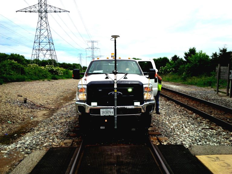
Teams can use the camera or capture system that fits the project. After upload, GPS-based photos and videos can be reviewed spatially. Users can identify visible assets in the imagery and build an inventory list around the observations.
Examples of visible infrastructure records
- Street and traffic signs
- Poles and above-ground utility equipment
- Curb inlets and manholes visible at the surface
- Guardrails and barriers
- Sidewalk and curb conditions
- Trees and vegetation
- Access points, gates and structures
Use existing location data as authoritative context
If your organization already maintains GIS, survey or asset-management data, keep that system authoritative for the information it owns. OcuMap can place the visual record around that context so a user can see the condition associated with a known asset or location.
Compare asset conditions over time
Repeat imagery turns an inventory into a visual history. OcuMap can compare documentation from the same location side by side across dates so teams can see whether an asset is missing, damaged, replaced or surrounded by changing conditions.
Measure supported documentation
Supported flat photos can be calibrated for length and area measurements. LAS, LAZ and E57 point clouds can be opened and measured natively when higher-density 3D documentation is available.
Share the inventory visually
Published Viewers let teams provide a curated, read-only project experience to stakeholders without exposing the internal workspace. Original uploaded files remain preserved with the project.
Start documenting with OcuMap →
Practical checklist
- Define the route, site or asset context before collection.
- Choose capture equipment based on the accuracy and visual detail required.
- Preserve source location and date metadata.
- Keep authoritative GIS, survey or utility-locating data separate from visual observations.
- Plan repeat capture if change over time matters.
- Publish only the documentation appropriate for outside stakeholders.
Related resources
Common questions
Can OcuMap locate underground assets?
No. OcuMap only displays and organizes the data you provide. Underground utility locating requires authoritative utility-locating or survey methods.
What kinds of assets are appropriate?
Visible assets such as signs, poles, trees, guardrails, surface access points and other observable infrastructure are well suited to imagery-based documentation.
Can inventory conditions be compared later?
Yes. Historical imagery at the same location can be reviewed side by side.