Client deliverables
Hand over a working visual record at project close — not a hard drive of unlabeled folders.
OcuMap is built on four pillars: Organize, Explore, Share, Preserve. Physical context comes first, not folders: you never manage folders, you move through a place.
Create a structured home for your documentation. Organizations, projects, buildings, and infrastructure — down to floors, floor plans, maps, features, assets, and issues.
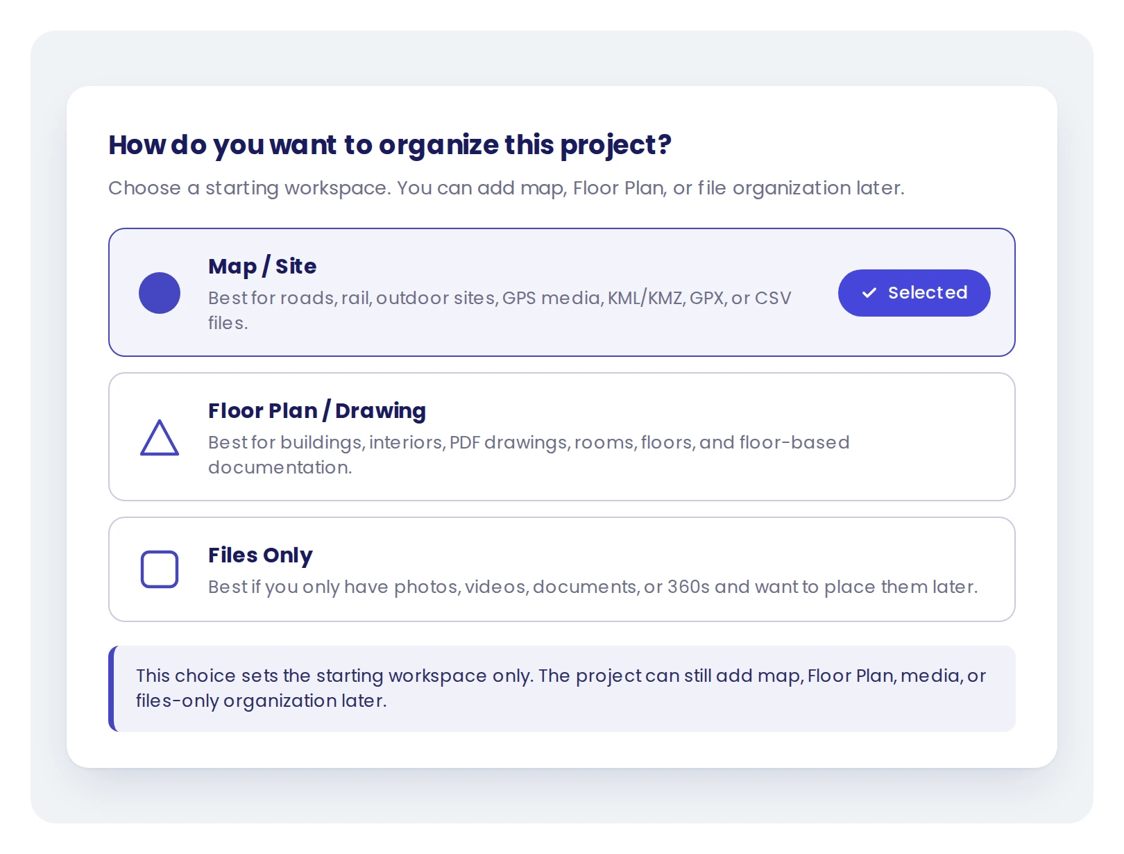
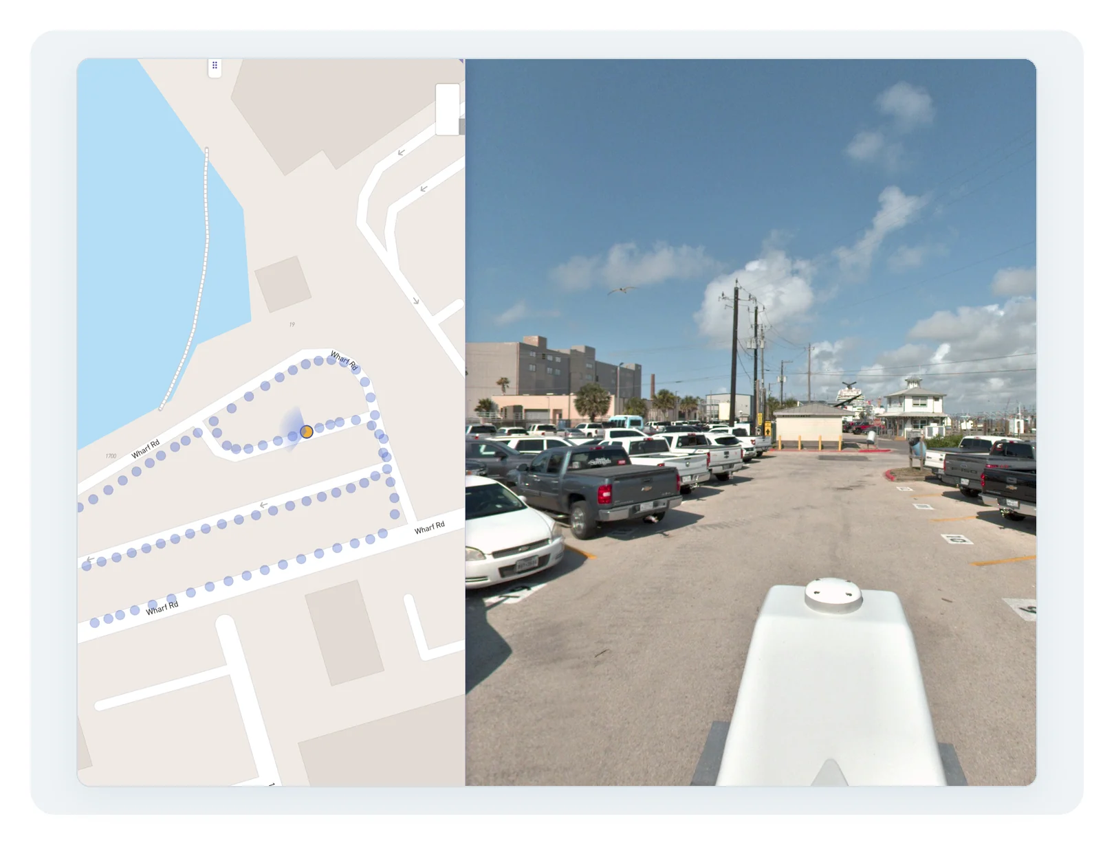
Navigate photos, 360° imagery, videos, point clouds, maps, and floor plans together, with measurements and historical comparisons built into the same viewer.
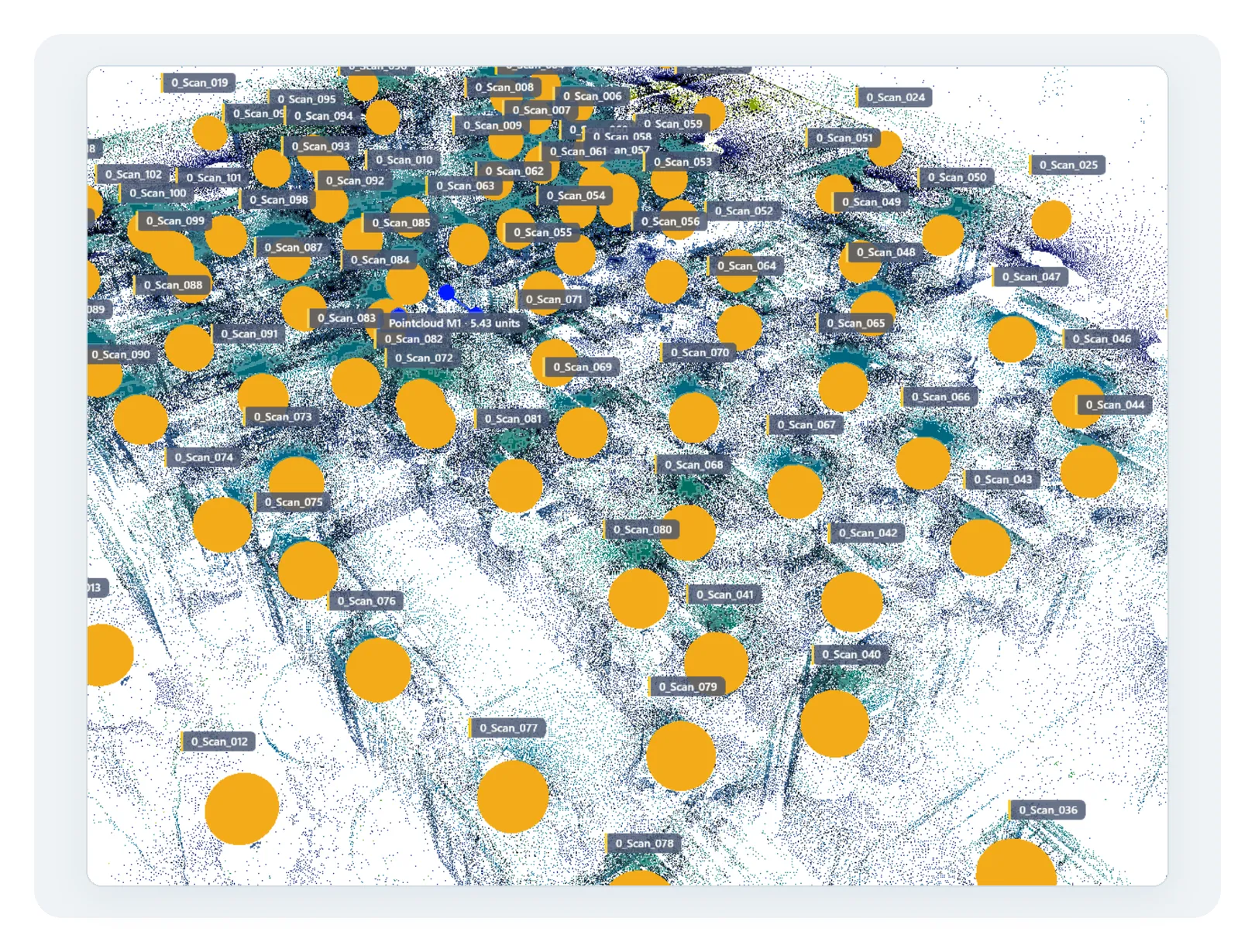
Open LAS, LAZ, and E57 files directly in the browser — no plugins, no conversion, no desktop software. Every viewer behaves the same way: scroll zooms, drag pans — in maps, floor plans, panoramas, and point clouds alike.
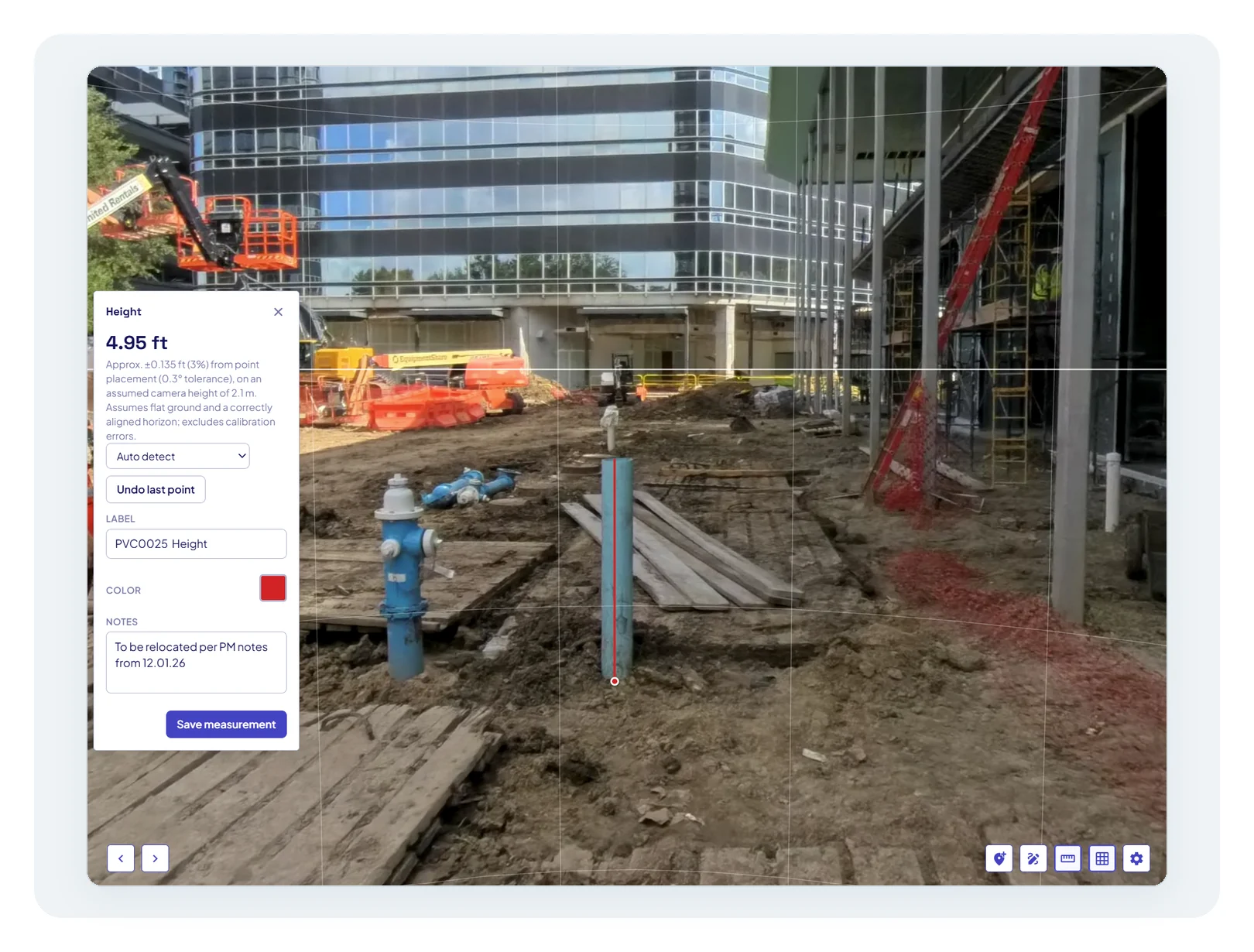
Three measurement types, taken directly inside your photos: 3D horizontal distance, 3D vertical distance, and polygon area. Room widths and ceiling heights, or shoulder widths and pavement areas — without a site revisit. Measurements save with the location they describe and can appear as read-only overlays in the projects you publish.
Every capture keeps its location and date. Compare the same space before and after a renovation, inspection to inspection, or season over season. The history is built into the asset, not reconstructed from file names.
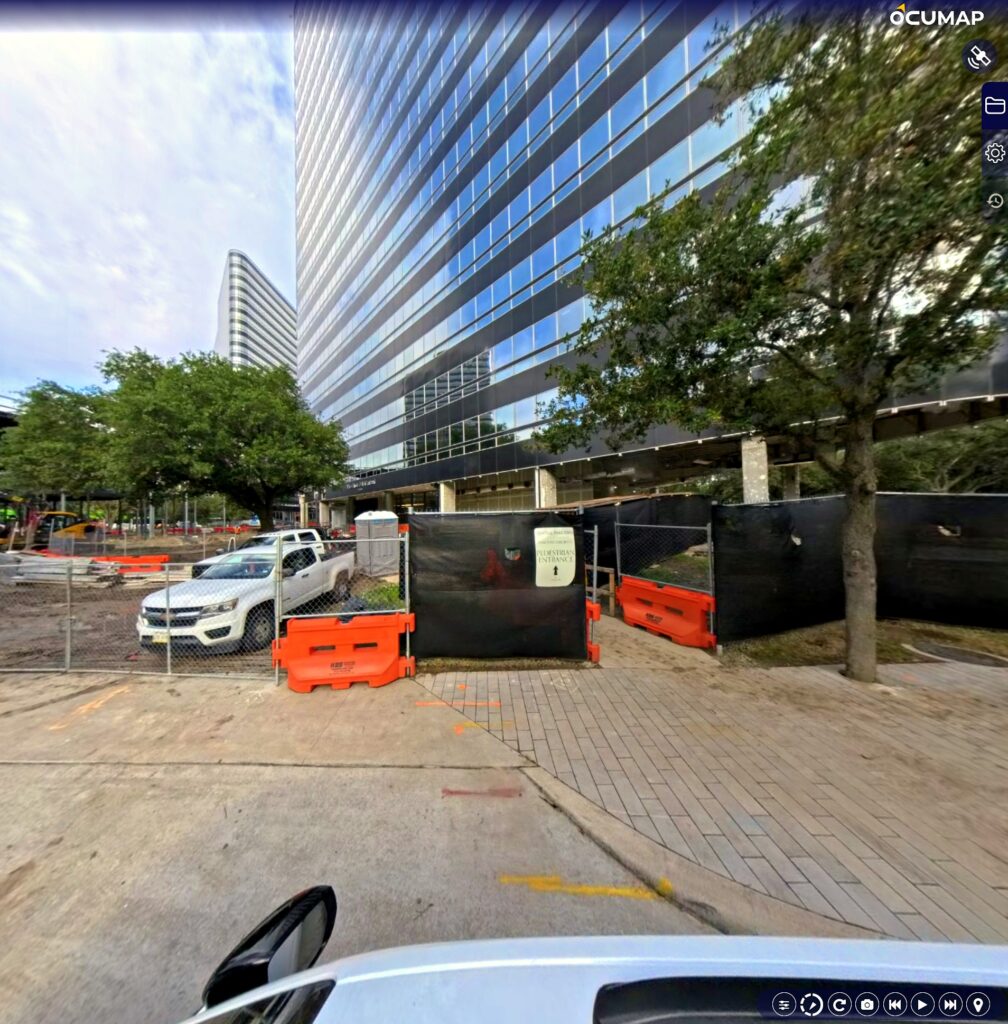
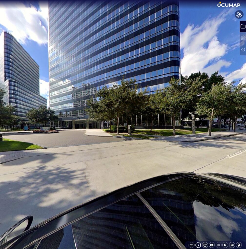
Deliver curated experiences through Published Viewers to owners, architects, and contractors, or agencies, municipalities, and utilities. Your working project stays yours.
Publish a curated, read-only experience combining maps, floor plans, photos, 360° imagery, point clouds, and documents — across one project or several. Recipients open a link in the browser — no account, no download. Add password protection when the audience calls for it.


Hand over a working visual record at project close — not a hard drive of unlabeled folders.
Decide who sees what. Team members work in the project; external stakeholders receive the curated view you choose, with optional password protection, download controls, and expiration dates.
Retain original files, full-resolution media, historical records, and long-term ownership. Documentation is a long-term asset — OcuMap treats it that way.
Original files are preserved as uploaded: full resolution, open formats, always downloadable. OcuMap organizes and displays your documentation; it never locks it away.
OcuMap natively displays photos (JPG, PNG), standard video, 360° imagery, and LAS, LAZ, and E57 point clouds. Supported DWG, RVT, FBX, GLB, and OBJ files can be stored and viewed through Autodesk-powered viewing. PDFs, maps, GPS data, KML, KMZ, GPX, GeoJSON, CSV, and related project documents can be stored and organized with the project record.
The project logbook is a chronological timeline of the record itself: notes, issues, updates and stakeholder comments. You always know what changed, who changed it, and when.
Start free — and stay free. Upgrade when your documentation needs more room.