Measuring Existing Conditions from Photos and Point Clouds
A guide to OcuMap measurement workflows, their practical uses and the limits of the source data.

Insights, tutorials, and industry trends for mapping professionals
A guide to OcuMap measurement workflows, their practical uses and the limits of the source data.
How repeat documentation becomes a long-term visual history instead of a collection of date-stamped folders.

GPS metadata turns ordinary field imagery into location-based documentation—but the quality of the result still depends on the source data.

A practical buyer’s guide to visual documentation platforms for buildings, facilities, infrastructure and sites.
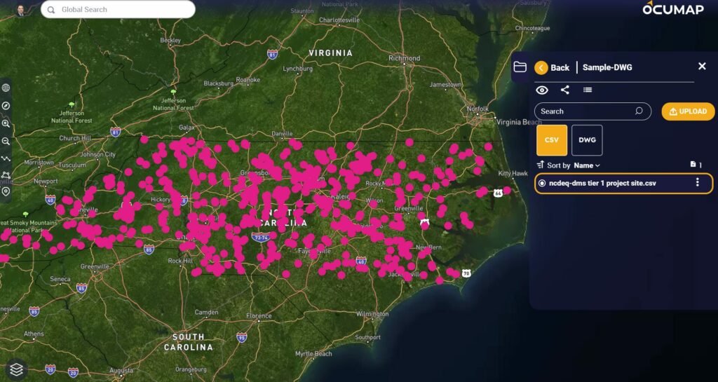
Urban planning decisions benefit when maps and models are connected to dated visual evidence of real-world conditions.
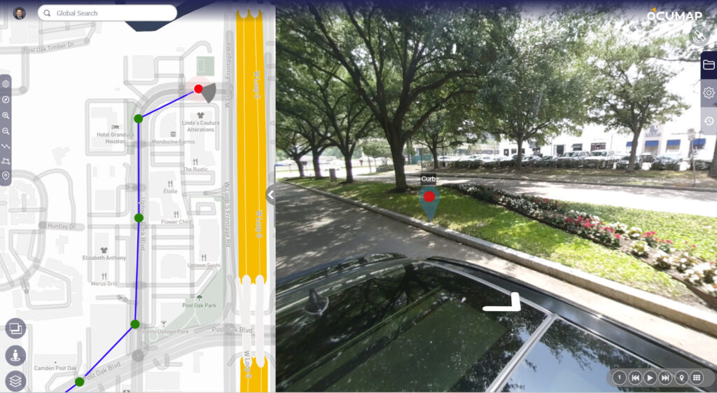
Not every platform that displays 3D data is a 3D mapping authoring tool. This guide explains where OcuMap fits in…
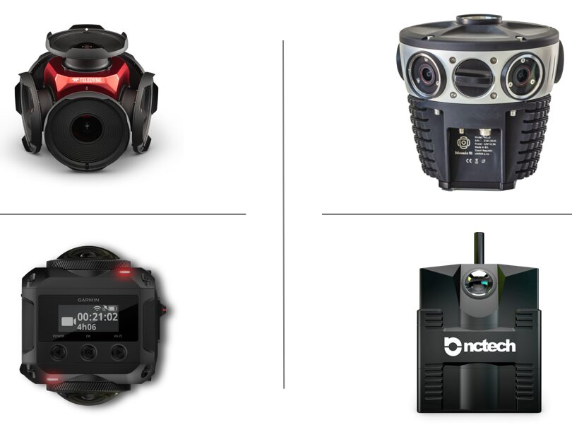
An evergreen camera-selection framework for mobile mapping and visual documentation projects.
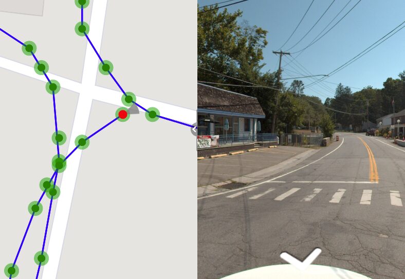
EXIF metadata can connect a photo to where and when it was captured, making location-based visual documentation easier to organize.
An updated guide to 360 video and how panoramic documentation can support buildings, facilities, sites and linear infrastructure.
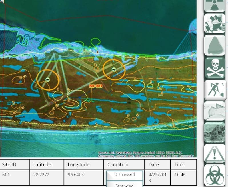
GIS manages geographic data and analysis. OcuMap complements it with location-based visual documentation and project context.