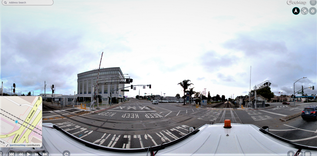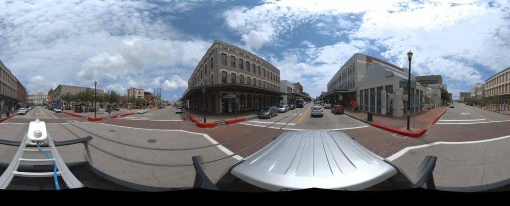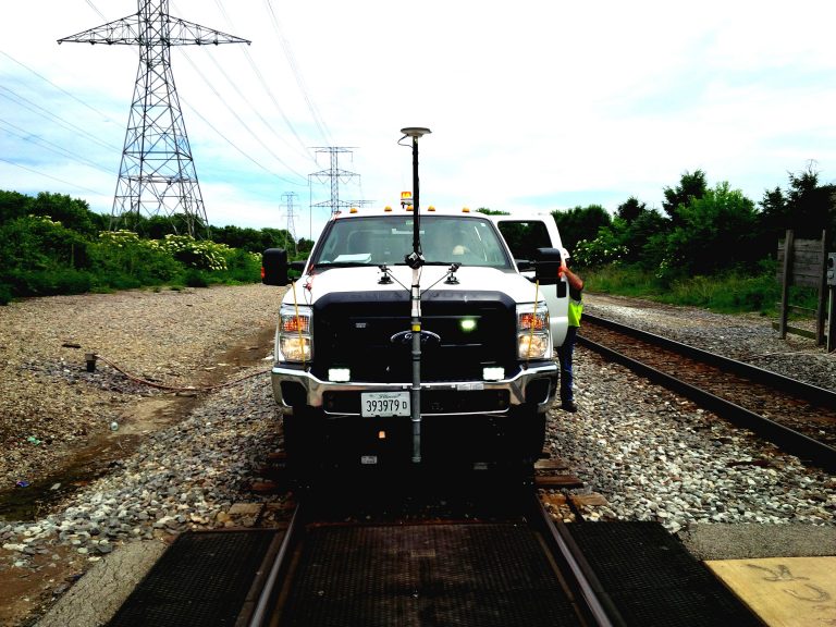
Rights-of-way can span miles of roads, rail, utilities and public infrastructure. The challenge is not only capturing the corridor; it is keeping the resulting photos, videos, maps, drawings and notes understandable after the field visit is over.
OcuMap helps organize visual documentation along known rights-of-way. It does not establish legal boundaries, perform a boundary survey or locate subsurface utilities. Those authoritative records should come from the appropriate survey, GIS or utility-locating source.
What visual right-of-way documentation can show
- Visible structures, access points and surface conditions
- Vegetation growth and potential encroachments
- Roadside or trackside assets
- Construction and restoration conditions
- Before-and-after evidence for maintenance or capital work
Use the location data you already have
If your project already has KML, KMZ, GPX, CSV or other location-based information, OcuMap can use that context on the map alongside the visual record. GPS-tagged photos and videos can also be displayed by capture location. The quality of the spatial result depends on the source data you provide.
Historical comparison turns a capture into a record
A single corridor capture is useful; repeated captures are more valuable. OcuMap can compare documentation from the same location side by side across dates so teams can understand visible changes without manually matching files from different folders.
Add point clouds and drawings when the project needs them
OcuMap’s native point-cloud viewer supports LAS, LAZ and E57 files, including direct measurement. DWG, RVT, FBX, OBJ and GLB reference files can be opened through Autodesk-powered viewing. PDFs and other project documents can stay with the visual record as well.
Publish only what stakeholders need
A curated Published Viewer can share selected documentation in a read-only browser experience. This is useful when owners, contractors, agencies or reviewers need project context but should not have access to the internal working environment.
Start documenting with OcuMap →
Practical checklist
- Define the route, site or asset context before collection.
- Choose capture equipment based on the accuracy and visual detail required.
- Preserve source location and date metadata.
- Keep authoritative GIS, survey or utility-locating data separate from visual observations.
- Plan repeat capture if change over time matters.
- Publish only the documentation appropriate for outside stakeholders.
Related resources
Common questions
Can OcuMap determine a right-of-way boundary?
No. Legal boundaries should come from authoritative survey or property records. OcuMap documents visible conditions along a known right-of-way.
Can underground utilities be located from imagery?
No. OcuMap displays the utility data you provide and can help document visible surface conditions; it does not locate buried utilities.
Can repeat captures be compared?
Yes. Side-by-side historical comparison helps teams review visible changes at the same location.