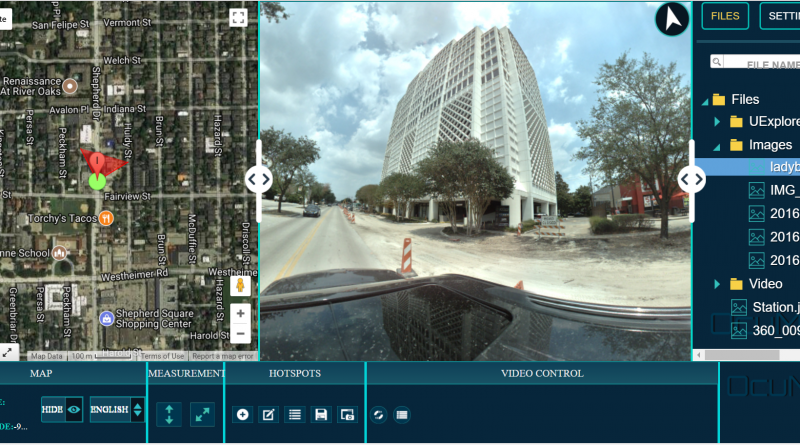
Point clouds are one of the most information-rich forms of existing-condition documentation, but they are often stored separately from the photos, drawings and reports that give them context.
What OcuMap supports natively
OcuMap’s native point-cloud viewer supports LAS, LAZ and E57 files. Users can open the data in the browser and take measurements directly within the point cloud.
What the viewer is—and is not
OcuMap is not a replacement for registration, classification, survey adjustment or advanced point-cloud processing software. Those tasks should remain in the specialized applications used to create the authoritative dataset. OcuMap is the viewing, organization, comparison and delivery layer around the finished documentation.
Keep point clouds with the rest of the project
A scan is more useful when a user can also see the photos, 360 imagery, drawings, PDFs and design references related to the same location. OcuMap organizes these formats together so the point cloud does not become an isolated technical file.
Measure in context
Native point-cloud measurement supports remote dimensional review. For projects without a point cloud, supported flat photos can also be calibrated for length and area measurements. The appropriate source depends on the accuracy and purpose of the question.
Preserve original source data
Original point-cloud files remain preserved alongside optimized viewing data. That supports long-term ownership and future reuse without forcing the organization to rely only on a web derivative.
Share without requiring point-cloud software
Project stakeholders can review selected documentation through OcuMap rather than installing a specialized desktop viewer for every file type. Published Viewers provide the client-facing delivery layer where appropriate.
Start documenting with OcuMap →
Practical checklist
- Decide which media type answers the project question: focused photos, 360 context, video, point clouds or a combination.
- Keep original source files and capture metadata.
- Confirm the output formats can move between systems without proprietary lock-in.
- Estimate storage and upload requirements before large collections.
- Document calibration, positioning and accuracy assumptions.
- Plan how clients and future teams will access the record.
Related resources
Common questions
Which point-cloud formats are supported?
OcuMap currently supports LAS, LAZ and E57 natively.
Can point clouds be measured in the browser?
Yes. Native point-cloud measurement is implemented.
Does OcuMap replace point-cloud registration software?
No. Registration and advanced processing should remain in specialized capture and processing software.