EXIF stands for Exchangeable Image File Format. It is metadata stored inside many digital image files and can include camera settings, capture date, device information and—when location services are available—GPS coordinates.
The EXIF fields that matter most for visual documentation
- Capture date and time
- Latitude and longitude
- Camera or device model
- Image orientation and resolution
- Exposure and other camera settings
How GPS EXIF data helps
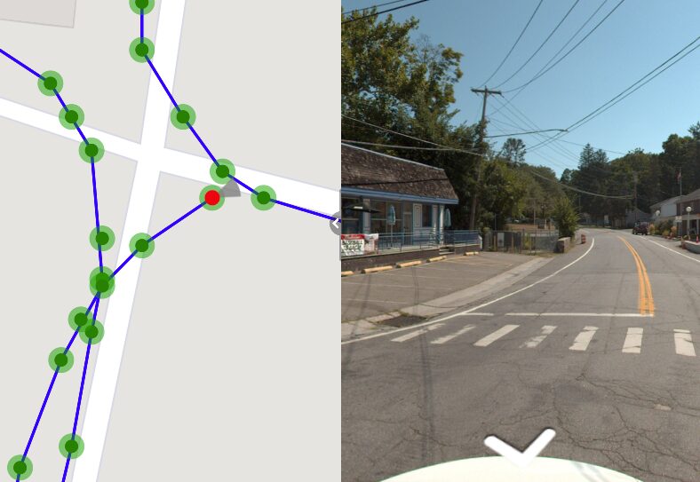
When a photo contains valid latitude and longitude values, software can display that image at or near its capture location on a map. OcuMap can use this information to organize GPS-based imagery spatially instead of requiring users to browse by file name.
EXIF location is only as accurate as the source
EXIF does not guarantee survey-grade accuracy. The coordinate reflects the device and positioning method used at capture. For high-accuracy work, pair the visual record with appropriate GNSS, survey or authoritative GIS data.
What if the photo has no GPS?
Not every useful project photo is geotagged. OcuMap also supports organizing documentation manually around project context, including maps, building floors and floor plans. The platform is designed so spatial context can be added after upload rather than making GPS a requirement for every file.
Preserve the original file
Metadata can be altered when photos are edited, exported or passed through messaging services. Keeping the original upload is therefore important. OcuMap preserves original files alongside optimized viewing copies.
Privacy matters
GPS metadata can reveal where a photo was captured. Organizations should apply their own privacy, security and sharing policies before publishing location-based imagery. OcuMap projects are controlled by the organization, and Published Viewers can be used when selected documentation is intentionally shared.
Start documenting with OcuMap →
Practical checklist
- Start with the business or project question, not the tool.
- Identify which source is authoritative for location and dimensions.
- Keep capture date and spatial context with the record.
- Use measurement only within the accuracy limits of the source.
- Preserve originals for future reuse.
- Connect each resource to the relevant OcuMap project, solution or Platform page.
Related resources
Common questions
Does every JPG contain GPS coordinates?
No. GPS metadata is only present when the capture device records it and when the file has not been stripped of location metadata.
Can EXIF be removed?
Yes. Editing or sharing tools may remove or alter metadata, which is one reason to retain the original file.
Does OcuMap require EXIF to organize a photo?
No. EXIF can automate map placement, but users can also organize documentation manually in project context.