Urban planning is fundamentally spatial, but maps alone do not always explain the physical condition of a place. Photos, 360 imagery, video, point clouds and drawings add the real-world context that helps planners understand what exists today and what changed over time.
Connect the map to the visual record
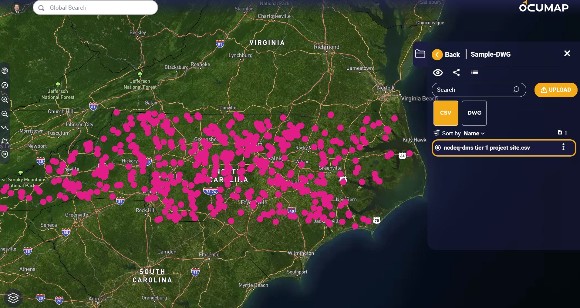
GPS-based imagery can be displayed at its capture location so a planner can move from the map into street-level documentation. Existing KML, KMZ, GPX or CSV information can provide context from other project datasets.
Use multiple documentation types
A planning project may include panoramic street imagery, point clouds of key areas, PDFs, CAD files, Revit references and public-facing exhibits. OcuMap can keep these records in a single project instead of splitting them across unrelated viewers.
Compare existing conditions over time
Historical comparison is useful for redevelopment, capital planning and recurring documentation. Images from the same location can be reviewed side by side across dates to understand visible change.
Measure when appropriate
Supported photos can be calibrated for length and area measurement. LAS, LAZ and E57 point clouds can be measured natively. These tools support remote review but should not be confused with survey control or authoritative design dimensions.
Share a controlled project view
A Published Viewer can present selected project documentation to consultants, owners, agencies or the public without exposing the internal workspace. Sharing can be controlled according to the needs of the project.
Planning systems still have their own roles
GIS, CAD, BIM and planning databases remain essential. OcuMap does not replace them; it helps connect the visual evidence that those systems often reference but do not manage well over time.
Start documenting with OcuMap →
Practical checklist
- Start with the business or project question, not the tool.
- Identify which source is authoritative for location and dimensions.
- Keep capture date and spatial context with the record.
- Use measurement only within the accuracy limits of the source.
- Preserve originals for future reuse.
- Connect each resource to the relevant OcuMap project, solution or Platform page.
Related resources
Common questions
Does OcuMap provide zoning or parcel data?
No. Use authoritative planning and GIS sources for those datasets. OcuMap can organize visual documentation around the locations they describe.
Can planning teams include point clouds and Revit files?
Yes. LAS, LAZ and E57 are supported natively, while RVT and other supported design formats use Autodesk-powered viewing.
Can a planning package be shared externally?
Yes. A Published Viewer can deliver selected documentation without exposing the internal workspace.