December 9, 2021Public Infrastructure Agencies have the burden of managing infrastructure assets such as roads, highways, sidewalks, traffic signs and signals in…
 May 15, 2021360 video, also known as Panoramic, Immersive or spherical Video is a term used to describe a hardware and software…
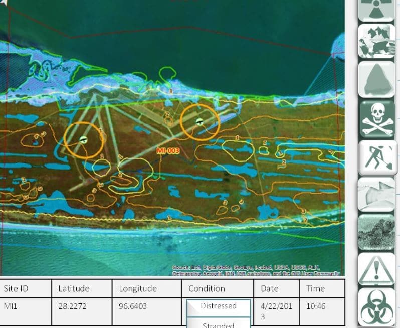
 January 7, 2021What is GIS and how is it used? GIS or geographic information system, is a technology used to capture, manage,…
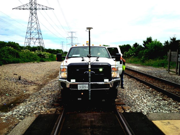
 August 2, 2018OcuMap’s 360o video mapping supports Rail Right of Way Imaging and Mapping survey and acquisition best practices at a fraction…