Without spatial context
- Building photos buried in folders and chat threads.
- Nobody remembers which room a photo shows.
- Records scattered across drives, emails, and old laptops.
Organize building photos, floor plans, panoramas, drawings, and project files by building, floor, and location — so your team can explore, share, and preserve them visually.
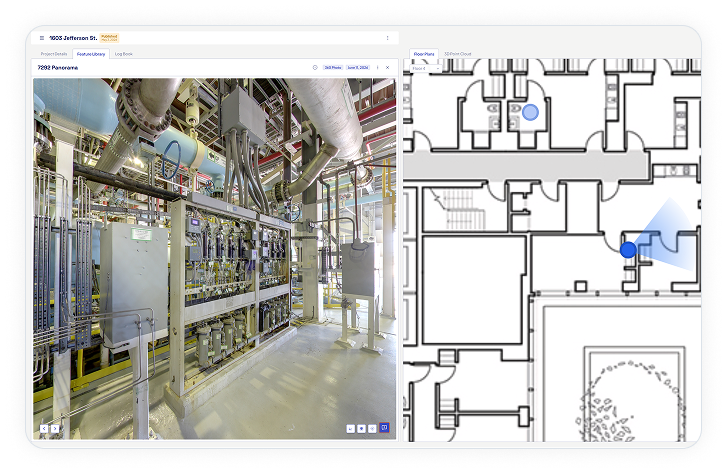
Use authentic project imagery — the environments your teams actually document — paired with the OcuMap workspace that organizes it.
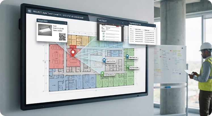
Four pillars that turn scattered files into a visual project record — the same way for every asset you document.
Organize site photos, panoramas, drawings, scans, and reference files around the building and floor where they were captured.
Use floor plans and pins to find photos, panoramas, files, and issues where they belong — not in a folder tree.
Publish curated, read-only viewers for owners and stakeholders without exposing the whole workspace.
Maintain the spatial context behind every record so future teams understand what was documented — and where.
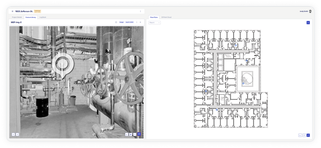
Capture the building as it stands before design work begins, and keep the record connected to the plans it informs.
Document conditions before walls close. What’s behind the drywall stops being a guess.
Deliver scans, panoramas, and photos as a navigable record your client can actually use — and stay attached to the project.
Give maintenance and operations a visual record of every space, findable by floor and room.
Keep every property’s documentation in one organization — consistent structure across the whole portfolio.
Close out with a curated Published Viewer instead of a hard drive of unlabeled folders.
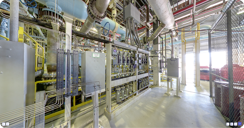
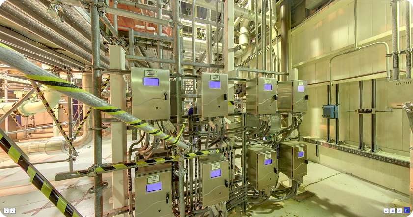
Existing conditions, design references, and construction records tied to the spaces they describe.
A delivery platform for scans and imagery that clients can navigate without special software.
Institutional knowledge of every building, preserved past any single project, vendor, or employee.
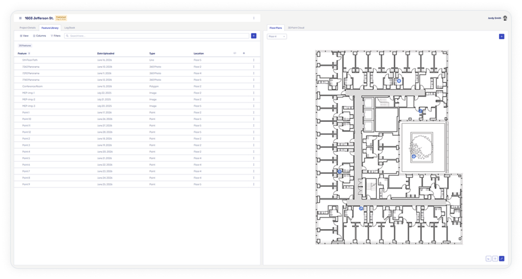
Photos, standard video, 360° imagery, LAS, LAZ, and E57 point clouds are viewed natively. Supported DWG, RVT, IFC, glTF, and FBX files are stored and viewed through Autodesk-powered viewing; PDFs, maps, GPS data, KML, KMZ, GPX, CSV, and related documents can also be stored and organized.
No. OcuMap is hardware-agnostic — use the mobile devices, DSLRs, 360° cameras, and scanners your team already owns.
Yes. Published Viewers open in any modern browser with no account or download, with optional password protection.
Original files are preserved as uploaded, at full resolution, and remain downloadable.
Start free — and stay free. Upgrade when your documentation needs more room.