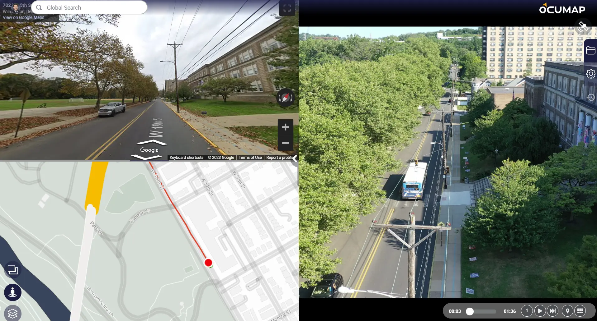
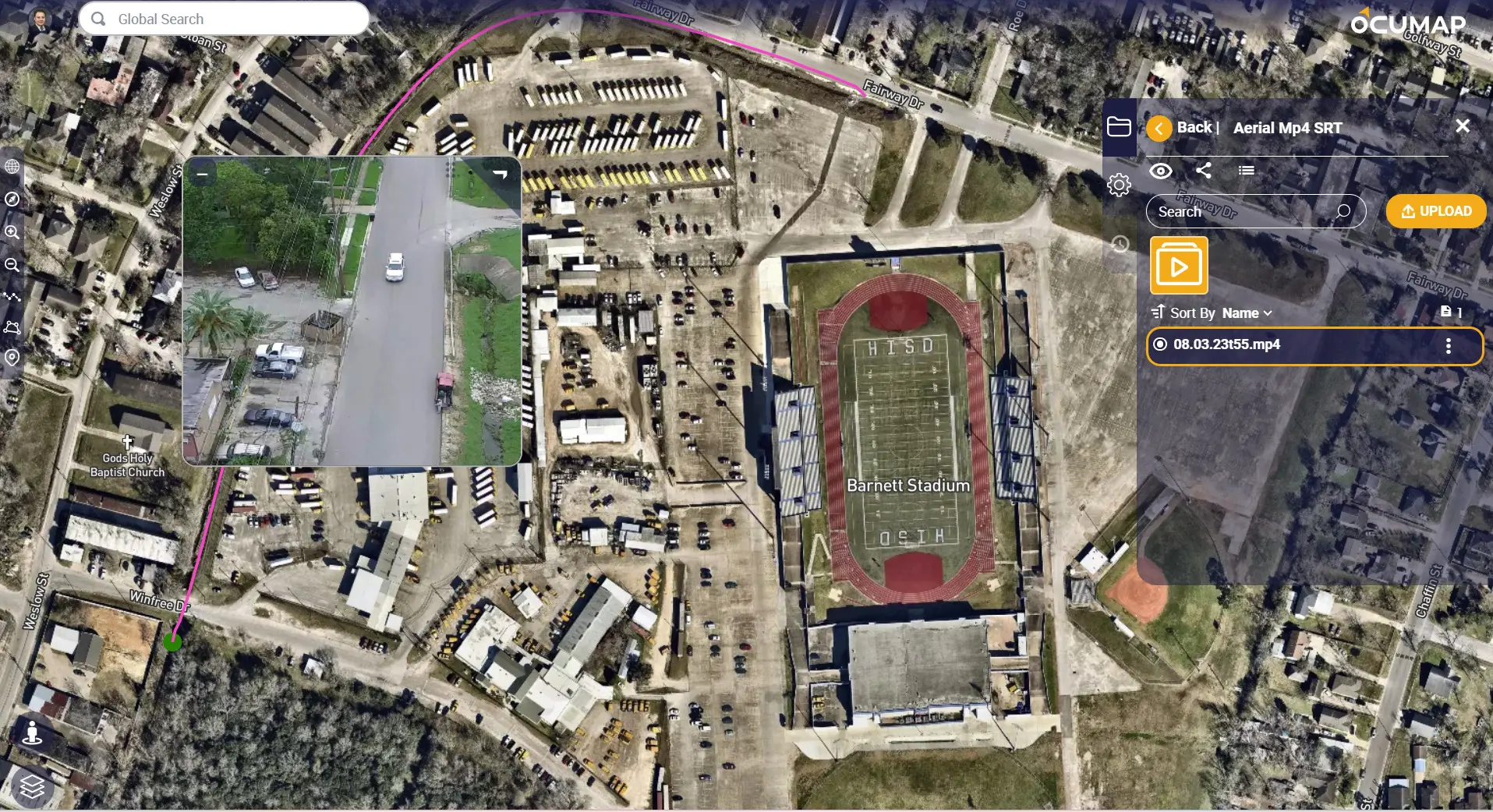
A single repository for your aerial photos & videos

Maximize the potential of aerial videos on the map
Reduce flight time by collecting GPS video and bring it back to the office for location analysis
Streamline your aerial assessments
See where your data is located, instantaneously. Navigate from one image to another or from video to another video on a single map. Compare your data to satellite maps to see what changed.


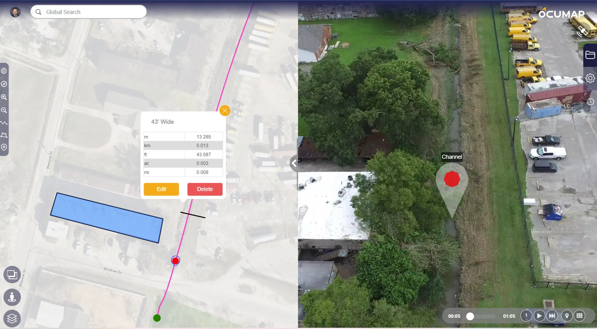
3. Geotag aerial videos and photos on the fly
Tag point features inside photos or videos with a single click. Locate your infrastructure assets directly from the arial video, generate a georeferenced database and visual condition assessment from your office.
Interested in this feature?
Need help collecting imagery as a service? reach out to us.
Inspect your assets with geolocation
See changes over time
Rapid condition assessment
Corridor documentation
Frequently Asked Questions
OcuMap is used to visually document existing conditions of corridors using GPS photos and GPS videos. Project managers are able to locate point features and create a location-based database for their projects.
Any GPS based photos or GPS based MP4 files. In addition, you can upload KML/KMZ, CSV, GPX, XML and other formats as needed and OcuMap will display this data on the map.
yes, once you create a project folder and upload your data to it, you can share the project with anyone using the person’s email address or by generating a sharable link that is valid for 30 days.
Create an OcuMap Account
Start visually mapping your data now with a 14-day free trial.
“We mapped more than 100 miles in less than 5 days and were able to locate defects along the entire ditch network using OcuMap. It was very easy to use and helped deliver our project in no time”


Project Engineer-Drone Pilot